Ocean Settings
Ocean Settings provide a range of options to customize the ocean environment in the Weather & Environment module. Users can access and adjust various ocean parameters, apply changes instantly or with a delay, and manage settings for realistic water simulation. This page guides users through accessing, saving, and configuring ocean settings.
Accessing Ocean Settings


Saving Settings

Press the Apply in 5s to apply settings in 5 seconds or press the Apply button to apply settings immediately.
Note
Please note that the “Auto apply” button must be in “Off” position for this button to be available.
General Settings
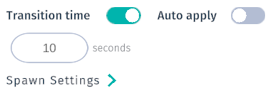
When the Transition time toggle is in “On” position (default), transition will blend between old and new value in the duration of the specified time.
Toggle the Transition time to the “Off” position to instantly change between settings when pressing the Apply button.
Toggle the Auto apply button to have settings auto applied after each adjustment in the ocean settings.
Tip
Setting a long Transition Duration can greatly enhance a video recording, for example by showing a gradual rise of the ocean level.
Wave Physics
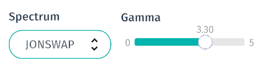
Use the Spectrum drop-down menu to choose from three different wave approximation types in Sandbox. Possible options are:
Spectrum Options
Default
ITTC
JONSWAP
Yes
TORSETHAUGENS
Use the Gamma slider to adjust the energy distribution of the waves.
Range:
0-5
Default value:
3.30
Ocean Visuals
Items below adjust the appearance of the ocean.
Water Type
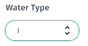
Specifies the type of water to be used. Options are for Water type are:
Water Type |
Default |
|---|---|
I |
Yes |
IA |
|
IB |
|
II |
|
III |
|
T1 |
|
T3 |
|
T5 |
|
T7 |
|
T9 |
Show Ocean
Toggle Show ocean to show and hide ocean. This setting will hide the ocean, but all assets are still affected by physics caused by it.
Ocean Transparency
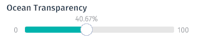
Use the Ocean transparency slider to adjust the ocean opacity. 100% transparency will hide the ocean completely.
Range:
0-100%
Default value:
40.67%
Grid Type
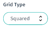
Use the Grid type drop-down menu to choose desired grid type. Selected grid will only appear when Ocean Ramp is turned on.
Option
Default
Squared
Yes
Height
Height Around
Ocean Ramp
Toggle the Heat map button to enable or disable the ocean heat map. Enabling this feature turns on a “heat map” visualizing the wave height. Red is the crest height and green is the lowest trough. Selected grid will show up.
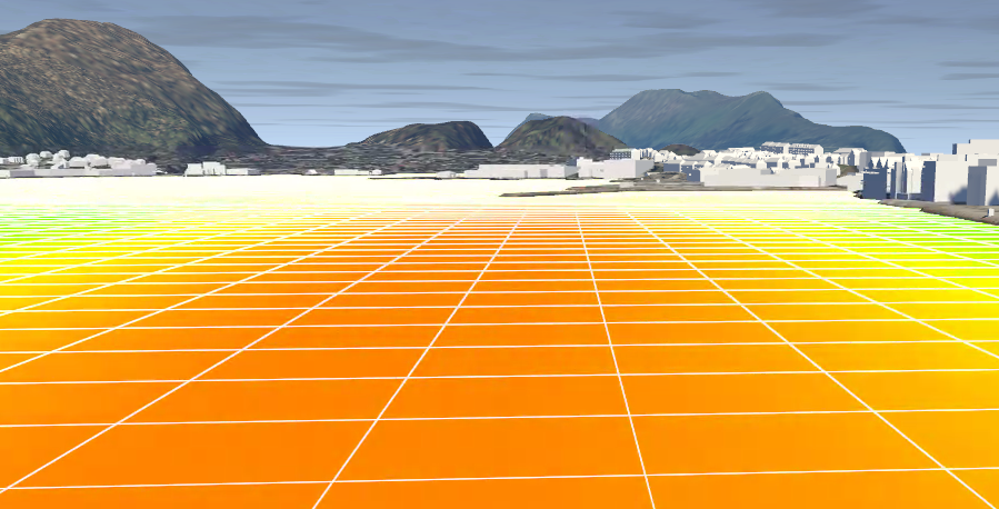
Ocean with Ocean ramp enabled, using the default Squared
Grid Scale
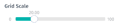
Use Grid scale slider to adjust the grid scale. Please note that the grid will only appear when Ocean Ramp is turned on.
Range:
0-100
Default value:
20
Sea Level
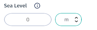
Enter a value in the Sea level field to increase or lower the sea height by that amount. Choose a measurement type (M, NM, MM) for the entered value. This is strictly a visual effect and does not affect the simulated sea level.
Sea Level Value
Effect
Positive value:
Increase water level
Negative value:
Decrease water level